Our mission is to provide professionally trained Civil Engineers for all type of civil engineering services. Increase the supply of efficient & highly skilled Civil Engineers and serve the Civil Engineering Community.
Read More
Highway Design with Autodesk Civil 3D software is in demand globally and a good understanding of the Civil 3D software plus knowledge of design standards can surely help engineers to fast track their career as highway design engineers. Our Civil 3D course modules are designed to cover all key aspects of design right from getting started with opening window, familiarity with tools, dropdowns, etc to importing ground survey data, horizontal alignment design, vertical alignment design, assembly creation, corridor modelling, and generating final 3D model outputs. The first module starts with getting started with the Civil 3D start-up window, quick access toolbar, dropdown option settings, etc. The module then opens the Civil 3D metric template and explains all the ribbons such as ground data, design data, profiles, etc. Civil 3D is template-based software, therefore templates are created and saved in tool space pallets and course all the menu options of the pallet. The module also covers drawing setting, unit transformation, object layers, etc. The second module covers importing ground survey data into Civil3D. the module covers three types of data importing methods (topo survey, land XML, and lidar coordinates (x,y,z)). When importing a CAD file, first all layers are isolated and then imported to Civil3D. The module explains the land XML and lidar data transfer process in a detailed manner. After transferring data, the module demonstrates how to create the ground surface model. The third module demonstrates how to analyze the surface, refine the surface and remove the errors like null levels, zero levels, etc. Then it covers how to trim falls surface area that sits outside the project road boundary. The module demonstrates how to create different surface types using tool pallets e.g contours, ground surface, etc, and finally how to check the ground level, profile and sections dynamically. The fourth module commences with horizontal alignment design in Civil 3D and covers 4 types of horizontal alignment design i.e centreline alignment, offset alignment, curve return alignment and miscellaneous alignment. Create alignment from the layout or predefine polyline or import the alignment from other software or file. The module also covers the quick alignment design method and setting the line style, curve style, transition style, point style, etc. The fifth module covers alignment design with Element Method. The module demonstrates fixed tangent, floating curve with transition length, fixed curved with transition length, fillet curve and reverse curve design for various design speed criteria. The module demonstrates some tips to minimize abortive work (when the amendment is needed) when designing it with the element method. The sixth module explains the vertical design process of the proposed centreline. For that, first, we import the ground model land XML and then start the profile creation process. The module describes how to fix the setting of the profile creating window. The vertical profile can be created by the quick method and element method. Both methods are described methodically for easy understanding. The module also explains how to set the profile band to show chainage, ground levels, proposed road levels, superelevation, etc. The seventh module describes how to create an annotation for the profile drawing production and how to make them in a presentable format. It shows how to show curves and gradients details within the profile section and how to create bands at the lower section showing chainage, proposed levels, ground levels, superelevation, horizontal alignment details, vertical alignment details, etc. The module also covers how to change grid style, font style, line type, datum levels, etc The Eighth module describes the process of creating cross-sections on the 3D model. Here module starts with assembly creation and it demonstrates two types of assemblies, dual carriageway assembly (without central median) and dual carriageway assembly (with central median). It demonstrates how to create assemblies from tool pallets. The ninth module describes the process to review and analyzing the corridor. It explains how to visualize the corridor against cross-section assemblies, how to fix the errors in the corridor, and how to make it in a presentable format. The tenth module described how to create retaining walls profiles in place of the embankment and describes how to generate cross-sections from the design model.
Read more
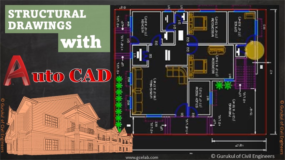
AutoCAD is classified as the utilization of technology to assist in the design, variation, optimization of a drawing layout. In this, we can generate both 2D and 3D drawings used in road and other infrastructure projects. To understand AutoCAD basics, you need to understand what it does: The software allows to make 2D or 3D models of a product (road, building, structures, etc). The Course Module provides step by step process to use Auto CAD from “Getting Started with CAD to various commands of operations to develop drawings and X-refs. First Module “CAD Basic” commences with a desktop icon to getting start window and then explains all the details of Menus, Tabs, Settings of CAD Window. Please click to see the Preview of the Course. The second Module provides details of using the command window and how to operate it. Then basic functions like zoom, pan, etc are detailed out. The third Module starts with drawings commands like “Arc” and “Circle”. It covers all the ways and means to operate these commands. The fourth Module covers the drawing command of “Polygon” and “Rectangle”. It provides all the ways to use these two commands in various situations. Please click to see the Preview of the Course. The fifth Module covers the drawing commands like move, copy and array. It provides a detailed process to use these commands and a combination of copy and array command too. Each module provides key tips to use the command in the most efficient way to save time and effort.
Read more
The Course Modules are designed to help students to understand Highway Engineering & Highway Design. Highway Engineering involves design, construction, operation & maintenance of roads to ensure safe & effective transportation of people & goods. The Course provides various key design principles and design procedures to assist students to understand best design and construction practices. Please see the Promotional Course Videos for a quick flavour. Highways Design module provides the design process of highway link design, horizontal alignment, vertical profile, super-elevation, stopping sight distance analysis, visibility checks, verge widening requirements, departure & relaxation, and various design checks. Also covers kerb and footway development. Pavement Design module provides a detailed process of pavement design and covers full depth pavement construction process and Overlay/ Inlay treatment. It covers existing pavement improvement process, carriageway widening, and subgrade improvement process. it also covers high friction surface (HFS) treatment process by providing details cold HFS and Hot HFS. Junction Design module covers the design process of the 4-legged junction, 3-legged junction and T-junctions. It covers junction visibility, junction swept path analysis, cycle lane design and provisions for disabled road users. It also covers the basic concept of grade-separated junctions such as half cloverleaf, Dumb-bell Roundabout, 2-bridge Roundabout, etc. Roundabout Design module covers the detailed process of Roundabout Design. It covers the crown line design. entry/ exit design, deflection radius requirements and various value engineering solutions. It also covers various design checks, drainage low point checks and cycle lane design provisions. It also provides key tips to design a safe roundabout. Standard Details Module covers all highway details such as Pavement Details, Kerbing & Edging details, Footpaths details, Bus Stop Details, etc. These standard products are generally procured from suppliers and installed on the site as per the standard details requirements and specifications.
Read more
Primavera P6 is a globally recognised one the most effective tool to plan, manage and execute civil engineering projects. But getting training of Primavera doesn’t come for free, most of the time. That’s why we develop our courses for a very nominal fee, yes you heard it right. It's only $5.00 if you are our subscribed member and you will not only get access to Primavera Course but also to all our courses that shows a $0 fee. Primavera P6 can sometimes be a complex tool to understand if your basics of using the tool are not clear. That’s why we develop our Primavera Basic Course for you to clearly explain step by step process to develop a project program. We use real-world civil engineering project examples and develop the program so you can easily grasp it and correlate it with your real-world projects. And you can view them as many times as you want. In the first module, students will learn about the following topics -Launching Primavera P6, start-up window, drop-down menus, toolbars, sidebars, option settings, etc. Please click to see the Preview of the Course. The second module provides details of Enterprise Project Systems (EPS). Primavera is a cloud-based Project Planning tool and it saves the projects program of the enterprise in EPS. So, it's very important for students to know how to operate EPS and how to create a new EPS category for a new project. The third module provides details of setting up a new project within a new EPS category within Enterprise Project Systems (EPS). The module also covers the process of developing a Work Breakdown Structure (WBS) of a new project. This is the most important step of a project before assigning any activity. The fourth module provides a detailed process of creating activities of a project. We have developed a civil engineering project program, so the activities are developed for a civil engineering project. The fifth module provides a detailed process of setting up the calendar of the project. Primavera provides global and project-specific calendar options. It would be very useful to know when to use what type of calendar. The module also explains how to assign a calendar to a project. The sixth module explains the process of setting the layout page of the project program. It explains how to set the columns for activities, the Gant chart and the activity area. you can also customise the layout for a specific project or for a specific user. The seventh module covers the process of linking activities in three possible ways. It also provides details of predecessor and successor linking. The module also explains the linking process in a specific constraint situation and shows how that impacts the overall project duration. In the end, a high-level project program is created to demonstrate the whole process of project planning using Primavera P6.
Read more
Skill Improvement Leads to Employability:- GCE Evaluates & Provides a Detailed Performance Result.
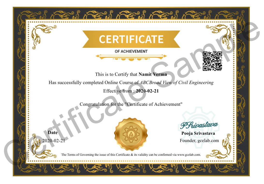
At GCE, we provide course completion certificates of all courses. Our certificate comes with unique QR Code to validate it online & download it whenever needed.
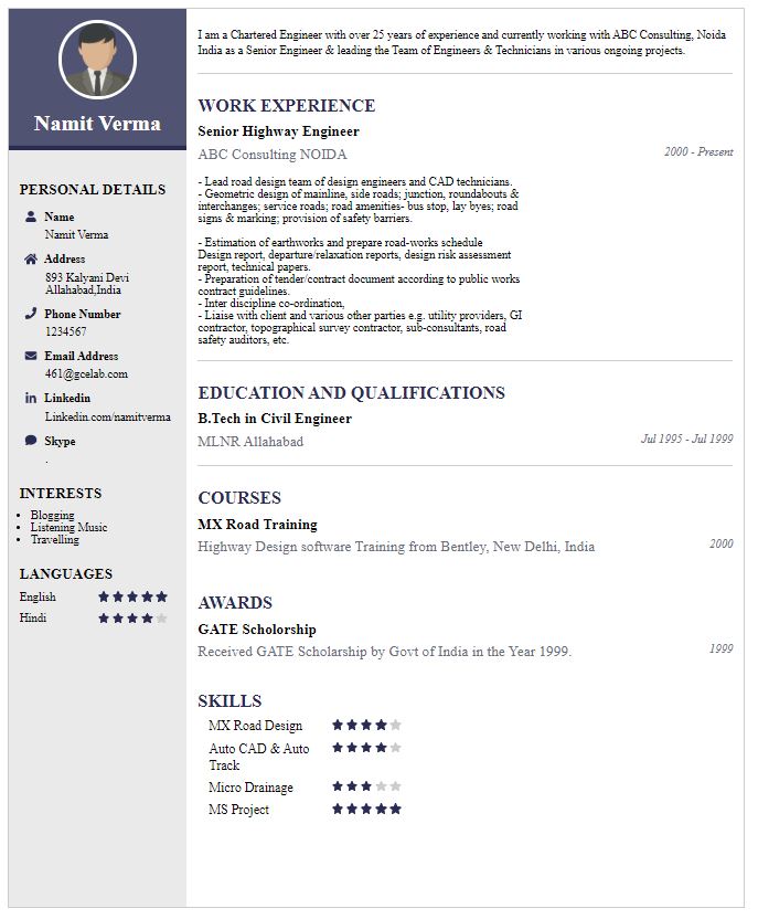
We build your CV with professionally designed Resume Builder Application. Our Resume Builder is not just another resume creation tool; it is the finest tool to present your career graph.


Our mission is to provide professionally trained Civil Engineers for all type of civil engineering services....
Copyright © 2026 Gurukul of Civil Engineers | All Right Reserved | Design & Developed By Ntier Infotech India.